Project Objectives

Environmental Improvement
Reduction in erosion and flood to safeguard the city sewage diversion to clean the river water retention and recharge.
Read More
Social Upliftmen
Reduction in erosion and flood to safeguard the city sewage diversion to clean the river water retention and recharge.
Read More
Sustainable Development
Generation of resources, revitalisation of neighbourhoods.
Aims to bring new life to the centre of the city.
About Us
In May 1997, the Ahmedabad Municipal Corporation launched a Special Purpose Vehicle (SPV) - the Sabarmati Riverfront Development Corporation Limited (SRFDCL) under Section 149(3) of the Indian Companies Act, 1956.
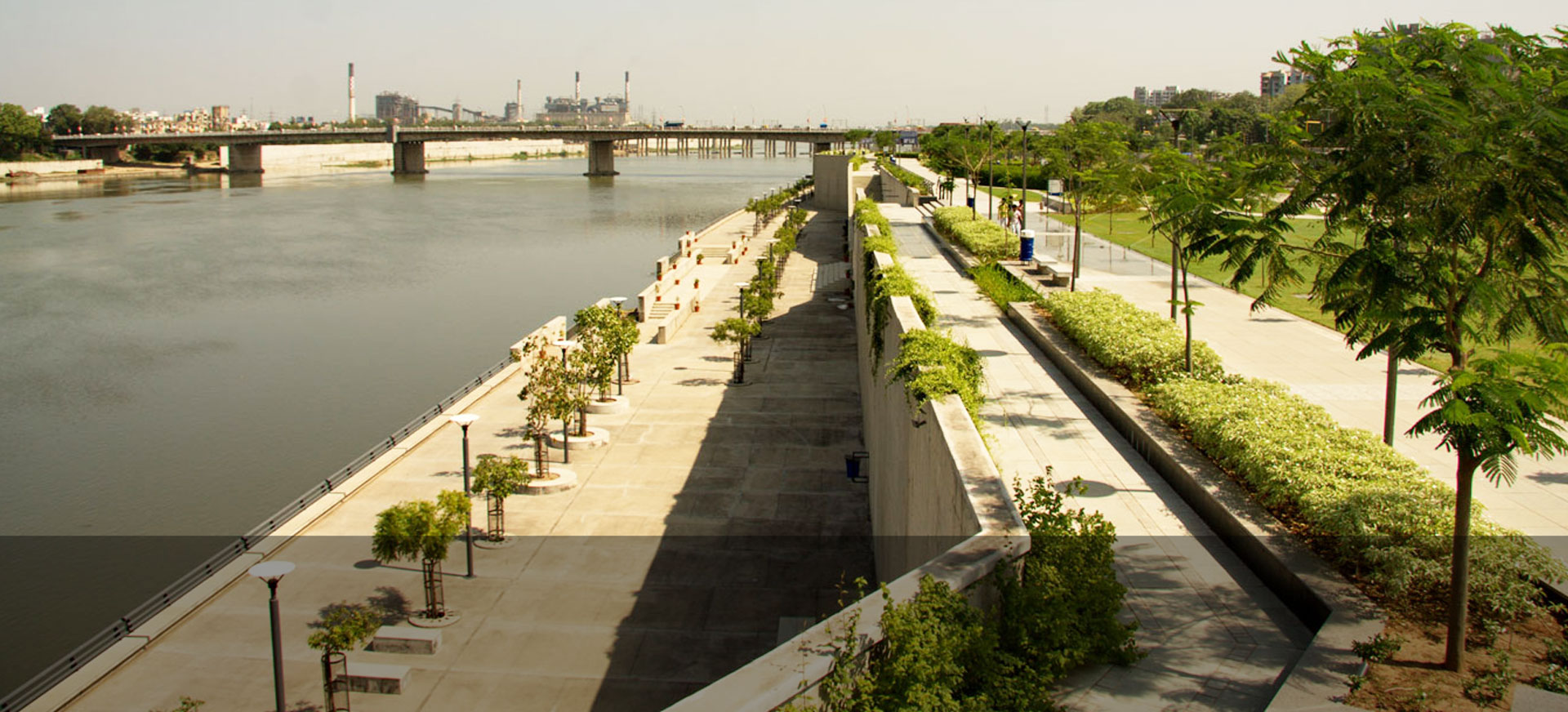
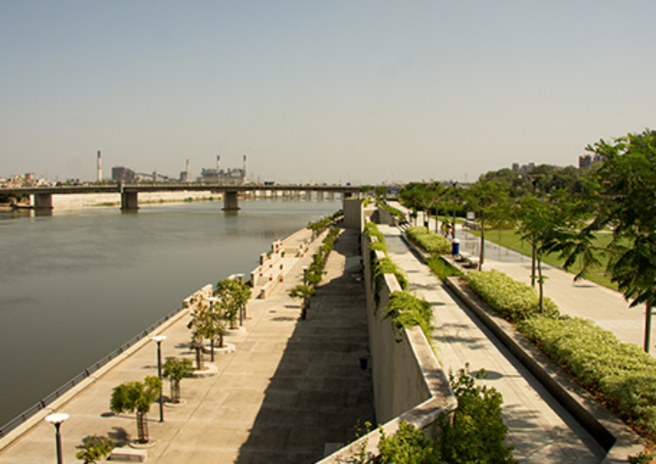
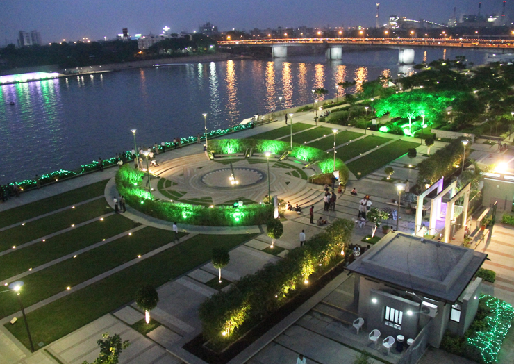
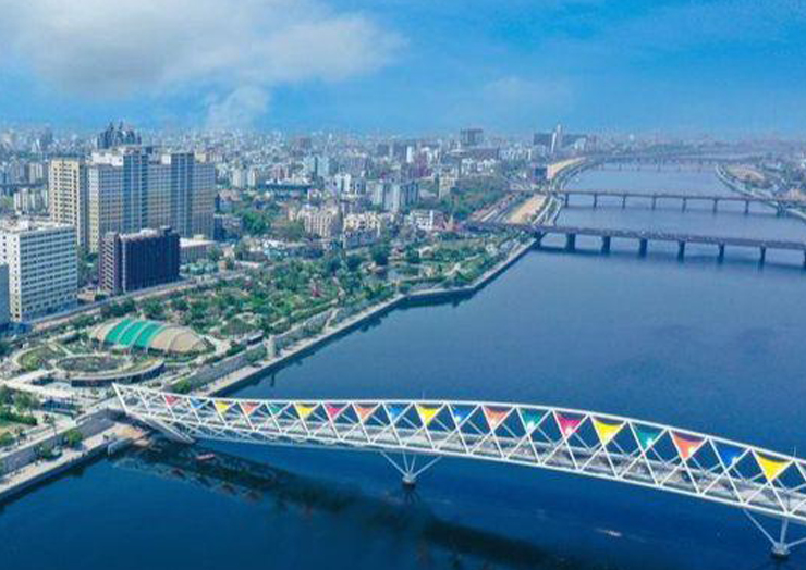
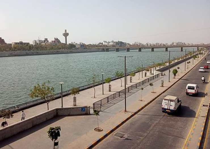
The project aims to provide Ahmedabad with a meaningful waterfront environment along the banks of the Sabarmati River and to redefine an identity of Ahmedabad around the river. The project has reconnected the city with the river and has positively transformed the neglected aspects of the riverfront.
Nurturing the Environment
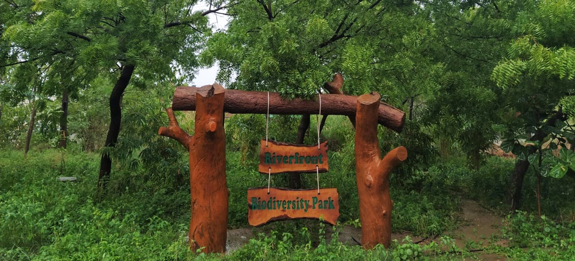
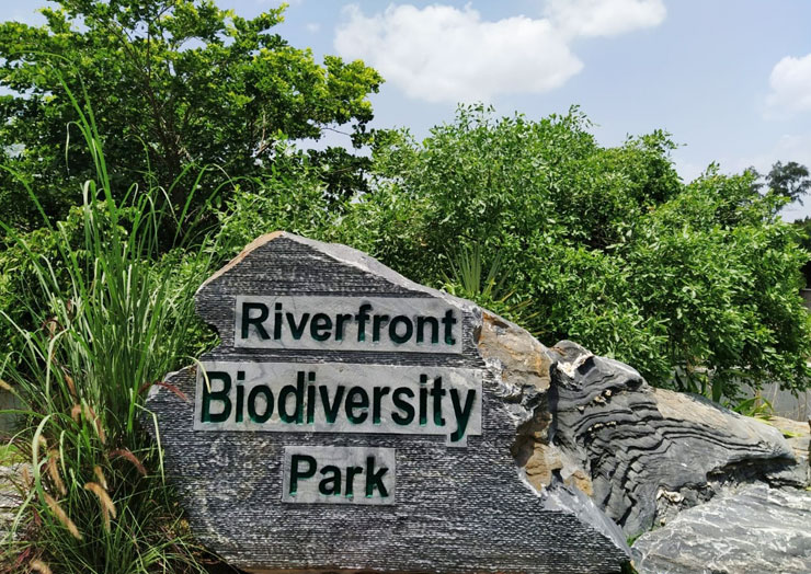
Urban forestry is the new thrust area to increase the green cover in the city and enhance the livability in the neighbourhoods and to provide the City with much needed Green spaces and respite from the dense built environment. The Biodiversity Park and the Miyawaki plantation along with other Parks & Gardens at Sabarmati Riverfront has increased the Green cover of the City and consists of variety of native, fruit bearing Trees and also has many endangered species of Trees.
A Paradise for Birds
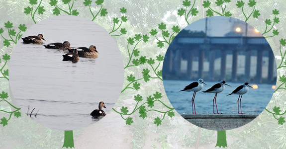
Sabarmati Riverfront, a Popular Hangout Destination for Amdavadis is also a Favoured Destination for Several Species of Birds. Riverfront Witnesses more than 120 Species of Native and Migratory Birds. Among those who are Regularly seen are Flamingo, Heron, Egrets, Bronze Wing Jacana, Grey Headed Swamphen, Purple Sunbird, Ruddy Shelduck, Lapwings, Owlets, Grey Francolin, Eagles, Kites, Shikras, Rosy Starlings, House Crows etc. Riverfront has become a new Destination for Bird Lovers to Visit.
Commencement of Phase II
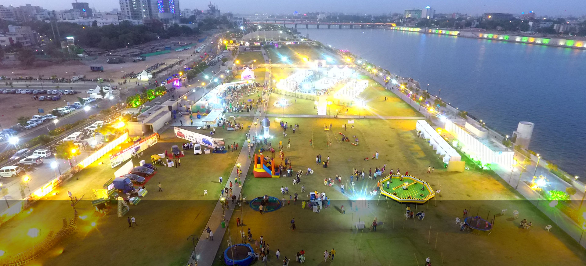
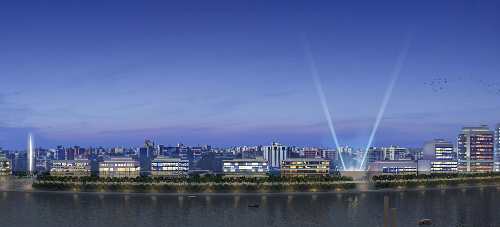
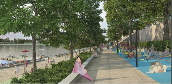
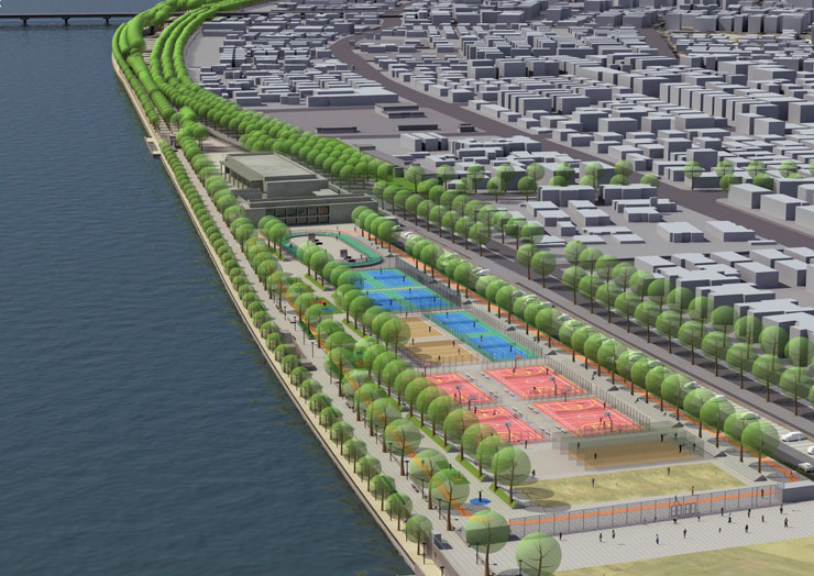
The Concept Plan and Design development for Phase II has stepped green multi layered Promenades, excellent Road network, active green Parks, Children's Play area, Food Plaza, Amphitheaters etc. The entire development of the Project is towards Urban Regeneration and Environmental Improvement which will transform the River as a focal point of Leisure and Recreation.
Places to Visit
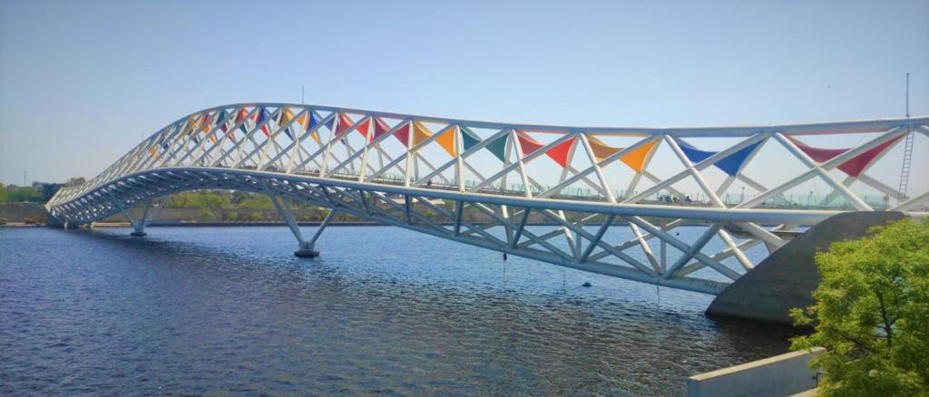
Sabarmati river has been an integral part in the life of Ahmedabad since the time the city was founded in 1411 along the river banks. Sabarmati Riverfront project has proved to be a major Urban Asset and adds another feather in the cap. Both, the residents of the city and the visiting tourists have the pleasure to visit the below mentioned places.


